
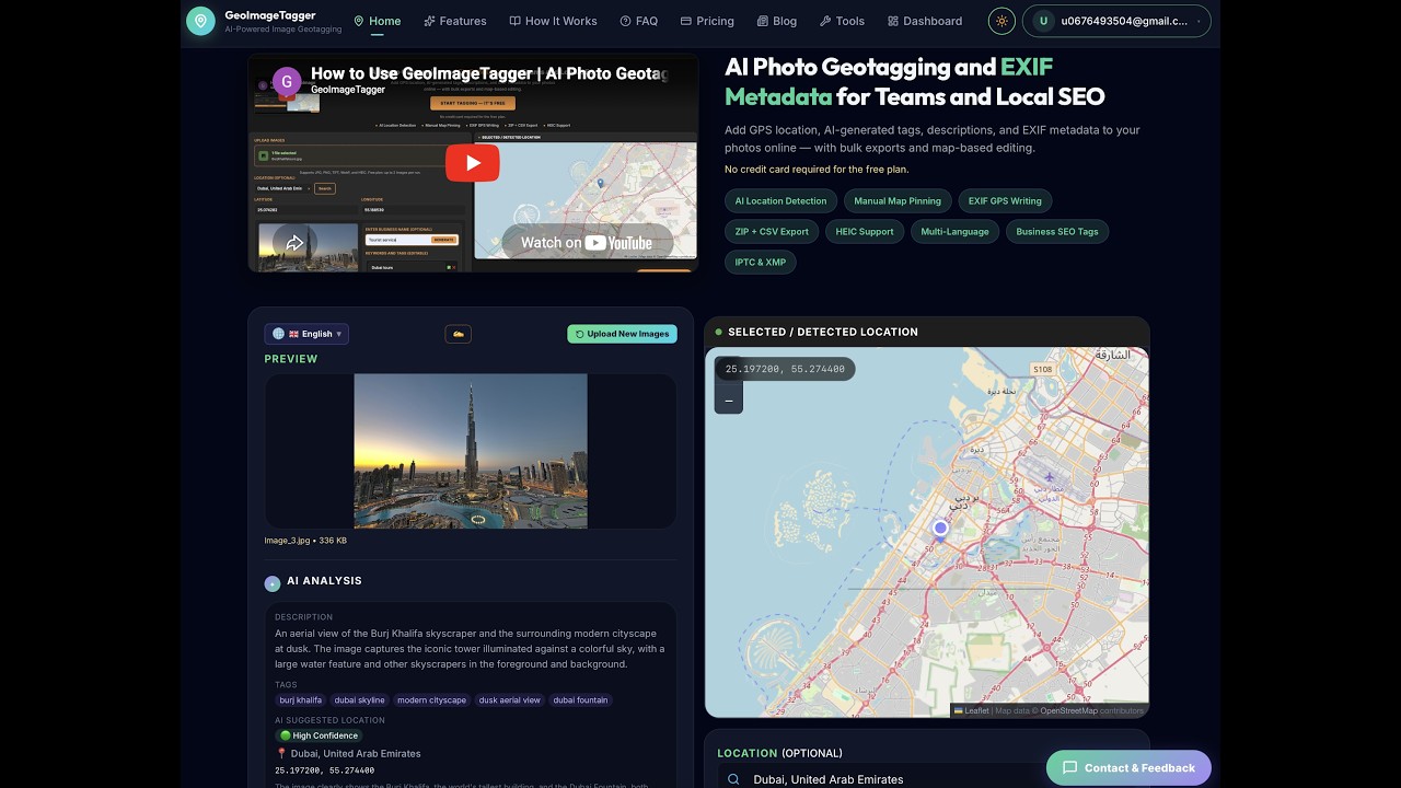
GeoImageTagger is a browser-based AI platform for image geotagging and metadata management. It uses AI to analyze photos and generate SEO-ready tags, titles, and descriptions.
The platform includes 8 free tools:
• Metadata Viewer — Inspect EXIF, IPTC, XMP & GPS data
• Metadata Editor — Edit EXIF/IPTC/XMP fields directly
• Image Compressor — Reduce file size with visual comparison
• Image Converter — Convert between JPEG, PNG, WebP, HEIC, AVIF
• Image Editor — Crop, resize, rotate, and adjust images
• Watermark Tool — Add text, logo, or signature watermarks
• EXIF Remover — Strip metadata for privacy
• AI Location Finder — AI predicts where a photo was taken
Supports multiple languages. Built for photographers, local SEO professionals, real estate agencies, and field teams. All processing is client-side — images never leave your browser.